Home > Europe > United Kingdom > England > Kent > Medway
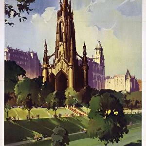
Chatham Kent UK City Street Map

![]()
Wall Art and Photo Gifts from Fine Art Storehouse
Chatham Kent UK City Street Map
Vector Illustration of a City Street Map of Chatham, Kent, UK. Included files are EPS (v10) and Hi-Res JPG.
Data courtesy from Ordnance Survey: VectorMap District
https:/ordnancesurvey.co.uk/business-and-government/products/vectormap-district.html
OS OpenData is free to use under the Open Government Licence (OGL).
Contains OS data eCrown copyright and database right 2017.
http:/nationalarchives.gov.uk/doc/open-government-licence/version/3/
Unleash your creativity and transform your space into a visual masterpiece!
Frank Ramspott
Media ID 15055237
© Frank Ramspott, all rights reserved
Aerial View Computer Graphic Directly Above Gray Green Kent Road Map Street Map Text Chatham Digitally Generated Image River Medway
FEATURES IN THESE COLLECTIONS
> Aerial Photography
> Related Images
> Arts
> Contemporary art
> Digital artwork
> Street art
> Arts
> Landscape paintings
> Waterfall and river artworks
> River artworks
> Arts
> Portraits
> Pop art gallery
> Street art portraits
> Arts
> Street art graffiti
> Digital art
> Digital paintings
> Arts
> Street art graffiti
> Digital art
> Vector illustrations
> Europe
> United Kingdom
> England
> Kent
> Chatham
> Europe
> United Kingdom
> England
> Kent
> Green Street Green
> Europe
> United Kingdom
> England
> Kent
> Kent Street
> Europe
> United Kingdom
> England
> Kent
> Medway
> Fine Art Storehouse
> Map
> Street Maps
EDITORS COMMENTS
This print showcases a meticulously detailed vector illustration of the charming city street map of Chatham, Kent, UK. The image captures the essence of this historic town with its winding roads and bustling streets. Created using EPS (v10) and Hi-Res JPG files, this artwork is a testament to the beauty of cartography. The data used in crafting this masterpiece was graciously provided by Ordnance Survey: VectorMap District, ensuring accuracy and precision. This reliable source offers OS OpenData under the Open Government Licence (OGL), making it freely accessible for public use. From the tranquil River Medway flowing through its heart to the architectural marvels that dot its landscape, every element has been thoughtfully included in this digitally generated image. With no people present, viewers can fully immerse themselves in exploring each road and building depicted on this visually striking map. The color palette chosen for this design adds depth and vibrancy to an already captivating aerial view captured from directly above. Shades of gray, green, blue, and white harmoniously blend together to create a visually stunning composition that will surely captivate any observer's attention. Created by talented artist Frank Ramspott exclusively for Fine Art Storehouse, this print is perfect for those who appreciate both artistry and geography. Whether you are a resident or simply have an affinity for maps as works of art, let your imagination wander through the streets of Chatham with every glance at this remarkable piece.
MADE IN THE USA
Safe Shipping with 30 Day Money Back Guarantee
FREE PERSONALISATION*
We are proud to offer a range of customisation features including Personalised Captions, Color Filters and Picture Zoom Tools
SECURE PAYMENTS
We happily accept a wide range of payment options so you can pay for the things you need in the way that is most convenient for you
* Options may vary by product and licensing agreement. Zoomed Pictures can be adjusted in the Cart.